GREarth displays several sectors of GOES imagery. Three types of imagery are available in each sector: 1km visible, 4km Infrared, and 4km Water Vapor. Each image is downloaded from the GREarth server as multiresolution tiles in order to reduce bandwidth usage. For example, a single CONUS VIS image can be as large as 18MB and can update every 5 minutes; a prohibitive use of internet connection data transfer capabilities. Multiresolution tiling allows GREarth to download only those parts of the image that you are viewing.
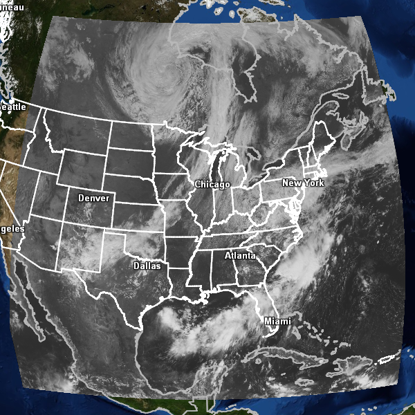
The East Conus view extends from approximately 14° to 60° latitude and -123° to --49° longitude. This view updates at varying times depending on the satellite operation mode. In Routine mode, the update interval is 15 minutes. In Rapid Scan mode, updates are fast as every 5 minutes.
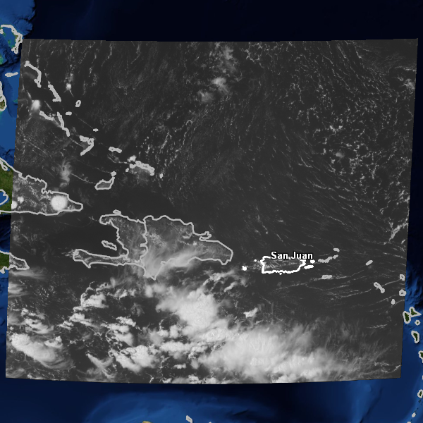
The Puerto Rico view extends from 9° to 26° latitude and -77° to -58° longitude. As with the East CONUS view, the update interval depends on the satellite scanning mode.
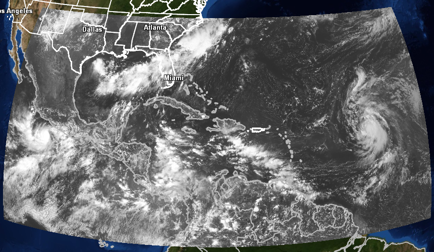
The East Tropical view extends from 0° to 36° latitude and -110° to -34° longitude. Unlike the other GOES-East views, the East Tropical view updates on a fixed, 30 minute interval at 15 and 45 minutes after the hour.
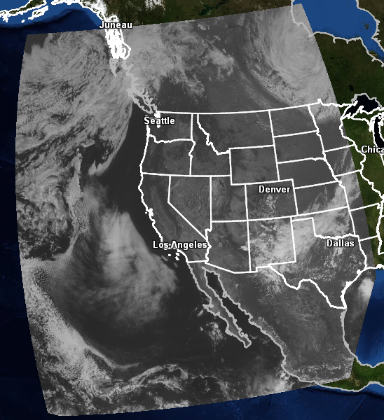
The West Conus view extends from 12° to 60° latitude and -152° to -91° longitude. As with the East Conus view, the West Conus view updates at varying intervals determined by the satellite scanning mode.
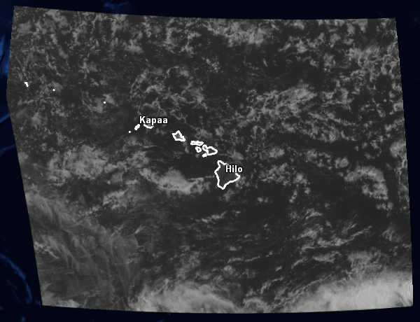
The Hawaii view extends from 9° to 28° latitude and -167° to -145° longitude.